They are the result of decisions, systems, and people working in harmony
Safe waters do not happen by accident
The mandate of a maritime authority is unlike any other in the industry. You are maintaining the conditions under which everything else can function. Safe navigation, coastal security, environmental protection, incident response. These are not departmental priorities. They are public obligations, carried out in real time, in conditions that do not wait for systems to catch up. Tidalis has been building software for the people who carry that responsibility for 50 years.

Purpose-built for the work maritime authorities do
Tidalis supports maritime authorities with modular solutions across traffic management, coastal surveillance, and maritime data intelligence. Each works independently. Together, they form a common operational picture across your entire maritime domain one that connects the people, the data, and the decisions that matter most.
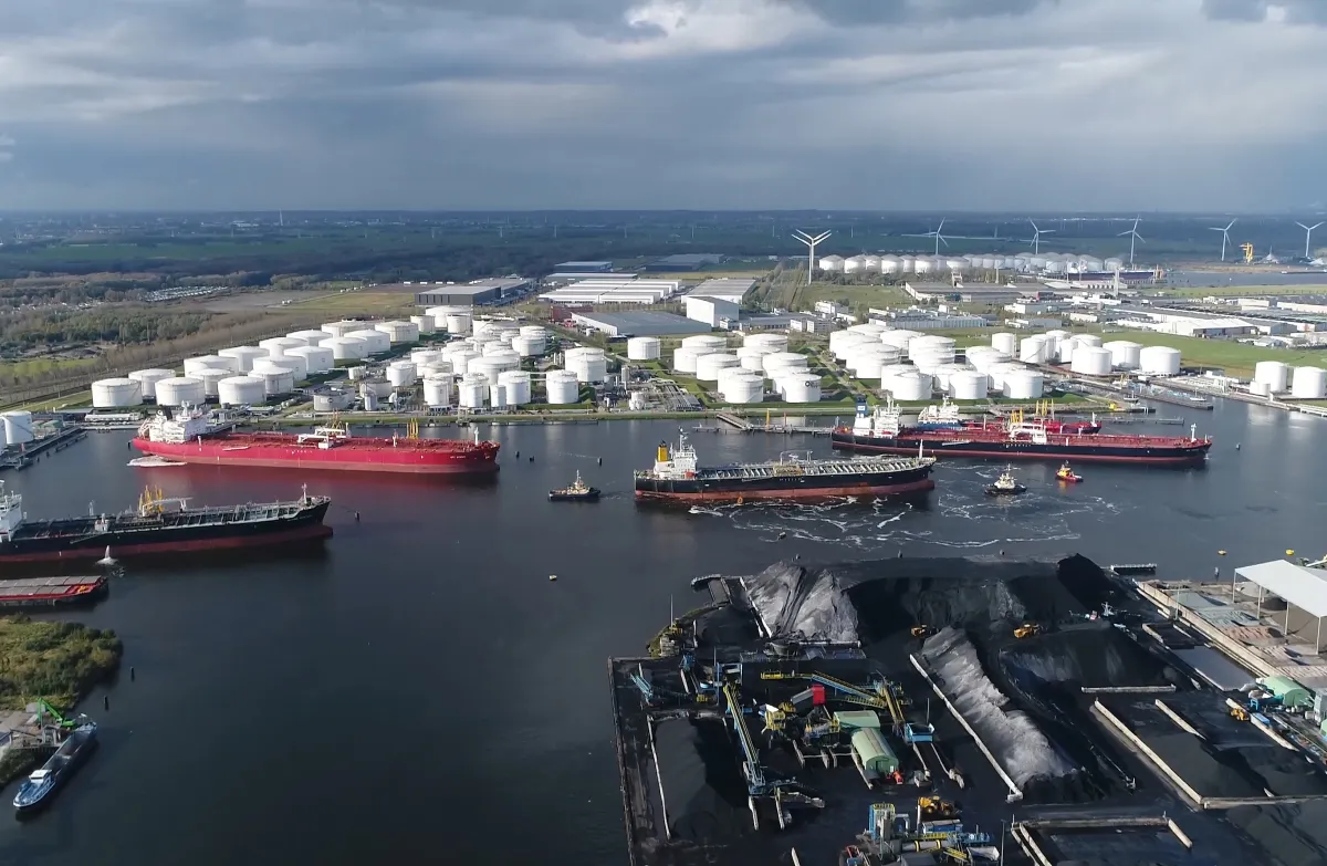
Vessel Traffic Services
The operational backbone of safe navigation which is built for the complexity of real traffic, real conditions, and real consequences.
You get
01 Real-time vessel tracking across radar, AIS, CCTV, and VHF
02 Intuitive UI with operator-first workflows built for high-pressure environments
03 Open sensor integration for future expansion, no hardware lock-in
04 Extensive decision support tooling
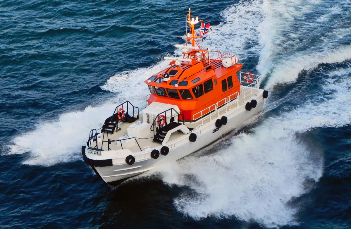
Coastal Surveillance
Wide-area maritime domain awareness for increased safety at sea. Empowering law enforcement, strengthening search and rescue capabilities, protecting the marine environment, and securing critical infrastructure.
You get
01 Integrated surveillance across multiple sensor types
02 Highly accurate tracks using enhanced sensor fusion algorithms
03 Configurable alerting for specific zones and vessel types and activities
04 Shared operational picture across agencies for improved coordination
05 Multi-center support to cover large sections of coastline (e.g. Great Barrier reef, covering over 2.000 km)
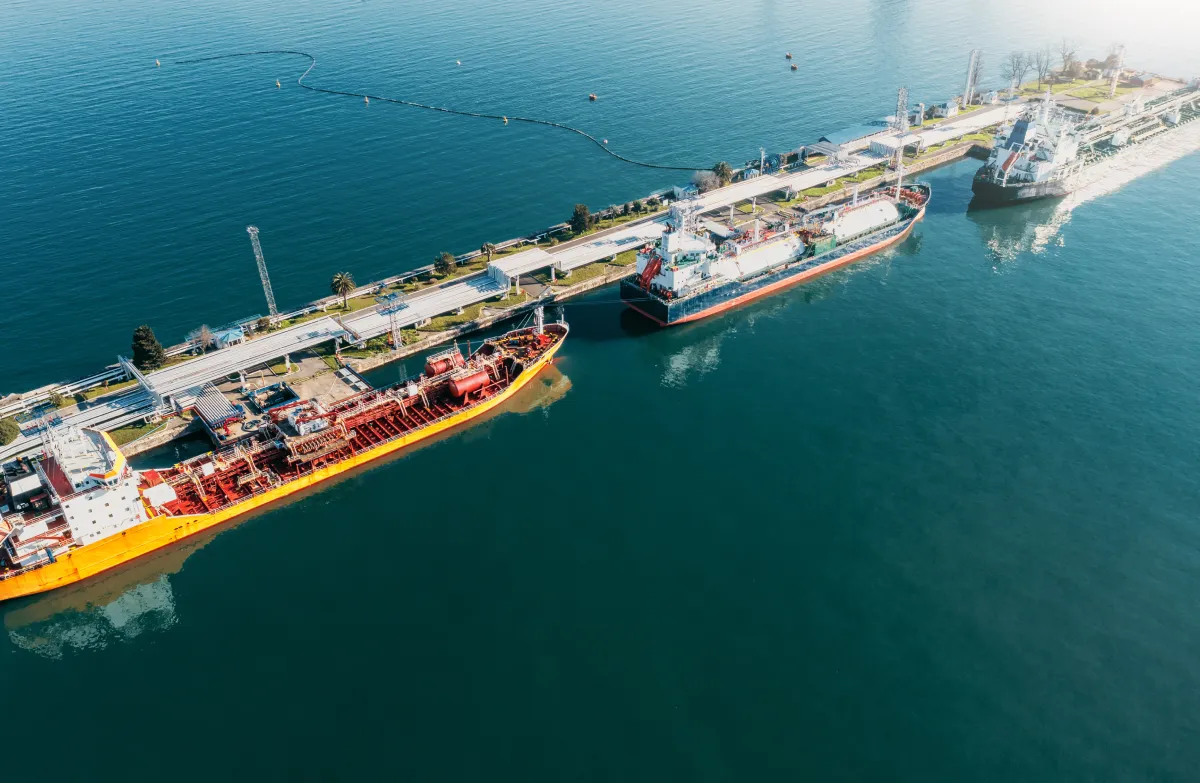
Maritime Data Services
An intelligence platform that transforms raw operational awareness into clear, confident decision making, bringing environmental, navigational, and vessel data together in real time to reveal what truly matters.
You get
01 Nautical charts, bathymetry, tides, currents, and weather in one operational view
02 Vessel incident, Density and Vessel maneuverability analysis
03 Beyond the horizon Vessel position and track data for patrol and enforcement planning
04 Weather and oceanographic forecast information
05 SaaS delivery no infrastructure investment required
Benefits for Maritime Authorities

Common operational picture
Every sensor, every agency, one shared view. The right information reaches the right person before it is too late to act.

Wide-area awareness
Radar, AIS, CCTV and surveillance data fused into a single picture — across coastlines, jurisdictions and agencies.

Open by design
Connect the sensors and data sources you already have. Add whatever you choose in the future. No hardware lock-in.

50 years of mission-critical software
Built for the conditions maritime authorities actually face, not the conditions vendors prefer to design for.
How we think about maritime authorities
The question is never whether the data exists. It is whether it reaches the right person in time.
Maritime authorities have more data available than at any point in history. What remains difficult is not collection but convergence and bringing the right information together, in the right form, at the moment an operator needs to act. That is the problem we have spent five decades working on, through open platforms that connect whatever sensors and data sources an authority already has, and whatever it will choose in the future.
The standard for what mission-critical software must withstand is set not by vendors, but by incidents that have already happened.
Let’s talk about your waters
Every maritime authority operates under a different set of conditions; different geography, traffic density, regulatory obligations, and operational maturity. Share where you are and what you are working through. We will help you identify where the right software investment makes the most meaningful difference.